


Course Overview
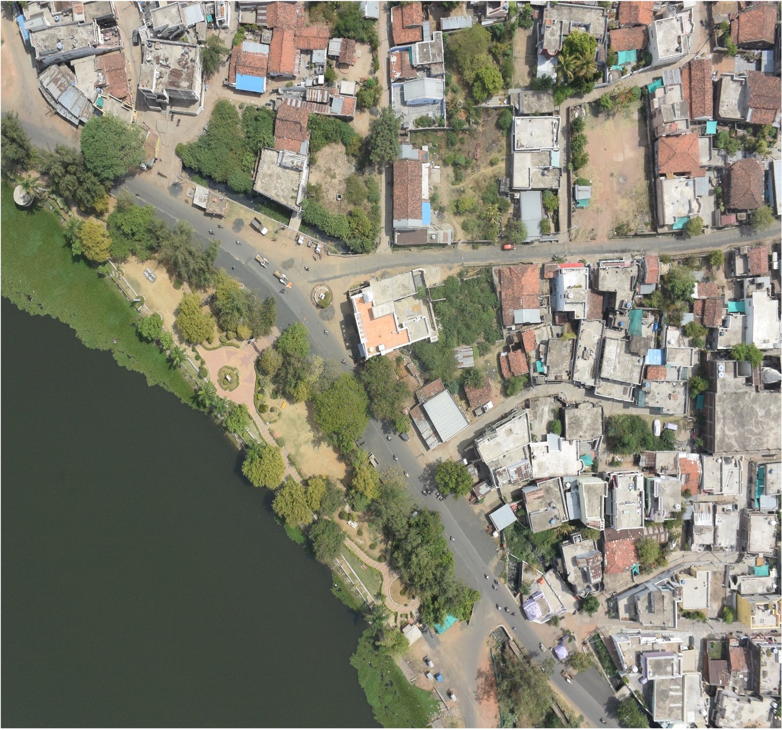
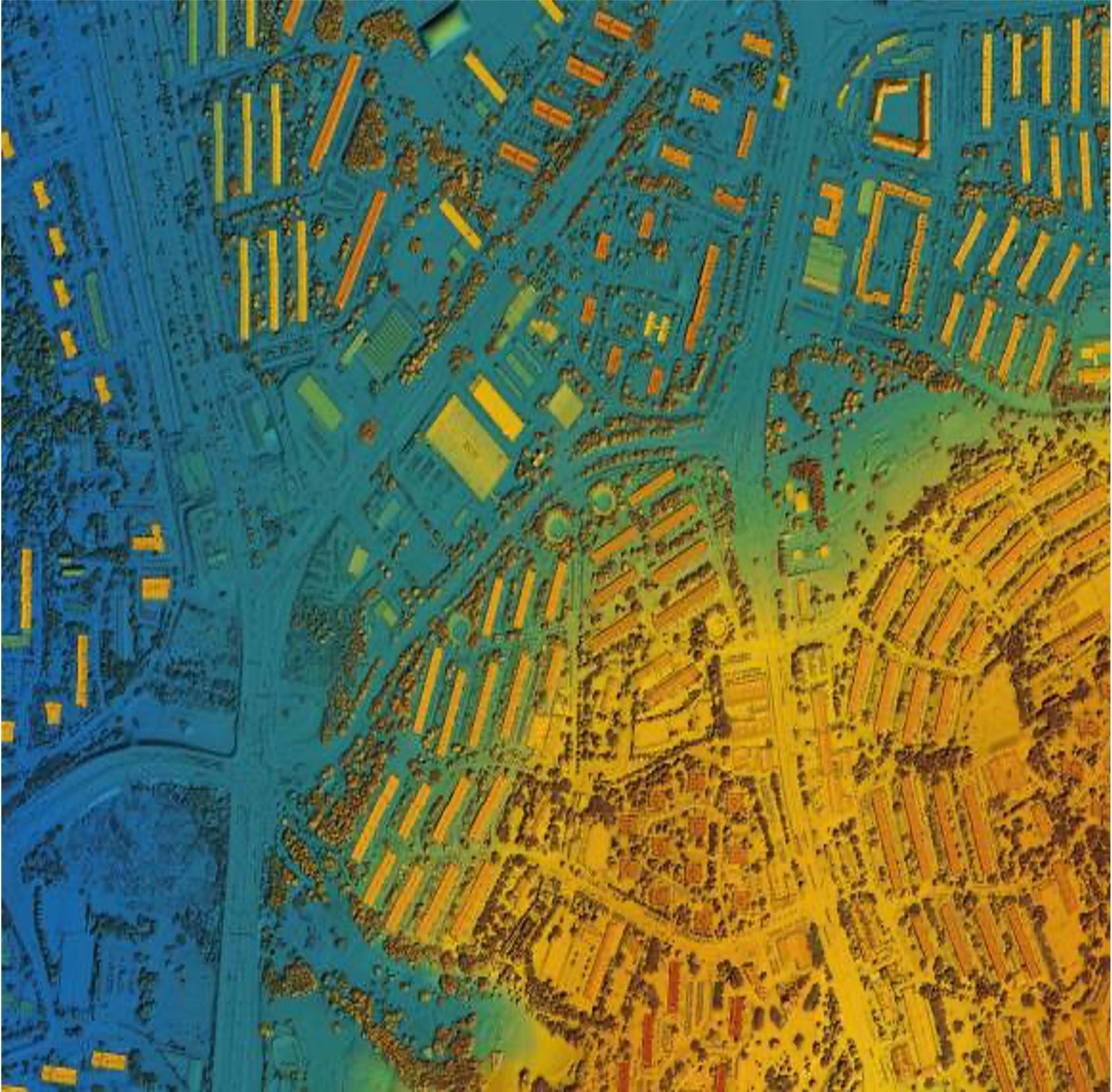
Explore the integration of GIS and drone data processing in this transformative course. From the basics of GIS to hands-on training on live projects, our curriculum is designed to make you job-ready in the GIS domain with meticulous attention to detail. Engage in interactive sessions on cutting-edge sensor technologies, including Visual (RGB), LiDAR, and more.
Locations
Currently our programs are only available in Thailand and Philippines.
Certification
Upon completion of the course, you will receive Drone Entry’s Certificate of Completion, validating your proficiency in Drone Data Processing with GIS.
Learning Outcomes
Master the basics of GIS and its real-world applications through hands-on training on live projects.
Learn to effectively utilize and make the most of GIS data acquired through drone technology.
Gain hands-on experience with GIS software for practical data processing.
Engage in interesting assignments that reinforce your learning and practical skills.
Request More Info
Embark on this educational journey, acquire your certificate, and become proficient in harnessing the power of GIS processes for drone data.
Unmatched Excellence!
Experience excellence firsthand with DroneAcharya, our parent company, boasting an impressive 4.9 Google rating for Drone Training Programs.